
Last Updated on October 11, 2022 by admin_hunter
If you’re a hiking aficionado, then you know the importance of planning routes, finding water, hunting for good campsites, estimating travel time, and tracking your progress.
Having a topographic map helps you locate mountains, plains, and valleys. Use topographic profile and maps to master navigation and for land interpretation and survival.
What is a Topographic Map?
A topo map is a representation of realistic information of the landscape. The map is used recreationally and professionally. Contour lines are the basic features of a topographic map and are used to indicate elevation changes. Contour lines also offer other crucial details, such as tree coverage, power lines, rivers, streets, creeks, and trails.
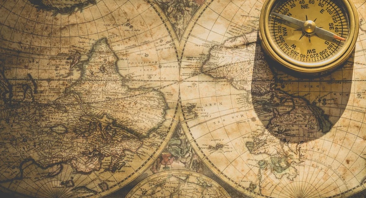
Where to Get a Topographic Map

These are several sources where you can get topographic maps. However, it also depends on the kind of information you want.
- Local government agencies– You can check the regional offices or websites of national parks, state parks, public land offices, or national forests.
- Independent websites– Several websites offer mapping services with downloadable, customized maps. However, you should be careful with these sites. Ensure you read reviews to verify if they provide accurate maps.
- USGS – The United States Geological Survey offers free downloadable maps in various formats. More so, these maps get updated after every three years. It means you’ll get accurate trails, mountains, valleys, and rivers.
- Specialty Companies – Specialty companies produce maps of popular areas and even highlight hiking trails. They also point out features like park boundary lines, campsites, and the elevation profile and land surface.
What to Consider When Buying a Topographic Map
Buying a topographic profile and map should not be daunting. You only need to check a few things.
- Tear-proof or Waterproof? – If you can get a map with both features, that is best. However, it will depend on how and where you want to use your map. A simple, paper-print out from your home printer is suitable for a short and sunny hike day.But if you’re planning for a long weekend wilderness adventure in winter, then you may need a waterproof map.
- Details – Are the legend, scale bar, and north arrow all on the map? Most people overlook this part, which is very important. You don’t want to use a 10+ years old map and get caught in bad weather conditions.
- Supplementary Information – Does the map give detained supplementary information and features of the area? Look for amenities, camping, and wilderness regulations. This information helps you in the planning stage of your wilderness adventure.
- Sources– Buy a topo map from reliable sources to avoid confusion.
How to Read a Topographic Map
Reading a topographic profile and map can be as easy as you make it. You only need to grasp critical features, and you’re good to go.
Here is how you read a map.
Contour Line
A contour line is the most essential and primary feature on a topographic map. The contour line shows the shape of the terrain, including slopes and depressions. You’ll notice this by tracking a constant line of elevation on your map.
A contour line is like imaginary horizontal planes sliding through the terrain. Visualizing a contour line is simple. A large mountain has a dense group of lines and a tiny circle at the center to represent a peak.
An area with few or dispersed contour lines is relatively flat. A good topographic map gives you a bird’s eye view for identifying the mountain’s shape and height.
An index contour is a bold or thicker line on a contour map that appears at every fifth contour line you see. If the numbers that are associated with a specific contour line is increasing, then the elevation profile of the terrain also shows that it is increasing.
Reading Slope Steepness

When contour lines appear spread far apart, it means the slop is gentle. Conversely, when contour lines are closely stacked, it means the slope is steep. A flat meadow doesn’t have contour lines, while a cliff indicates contour lines stacked on top of each other on a contour map.
Contour lines show more than the elevation or steepness of a slope. You can pinpoint features like:
- Ridge- U or V-shaped contours indicate ridges, but they point towards the lower elevations. You should also not the water never runs along the ridge top.
- Valley – A valley has a depression where water flows down. Valleys are indicated by U or V-shaped contours that point towards a higher elevation.
- Saddle – A saddle is a low terrain tucked between two peaks. The spot is marked by contour lines appearing in an hourglass shape.
- Peak – The Mountain peak is marked by concentrated contour lines marked with an X.
Then you will see a contour interval. This is the vertical distance in elevation between the contour lines or the difference in the elevation profile between the two contour lines found on a topographic map.
Scales
The topographic map scale tells you how detailed a map is. It’s generally written as a ration right the bottom margin of your map. The common scale is 1:24,000, meaning one inch of the map represents 24,000 inches on the ground.
Note that the bigger the bottom number, the less the detail. For instance, 1: 25,000 represents a large-scale map with a smaller region of land. On the other hand, 1: 64,000 indicates a small-scale map with a large area of land.
Map Legend
A legend gives you an explanation of what lines, symbols, or colors represent. It’s always in the corner or margin of topographic profiles and maps.
Large recreational maps include a legend with key symbols like restrooms and campgrounds. It can also include glaciers, roads, human-made features, power lines, trails, and peaks.
Colors
The map legends define the meaning of each color. For instance:
- White- This indicates that the area is a year-round snow land. It can also indicate that the land lacks tall vegetation.
- Blue- This is a representation of water in the form of lakes, rivers, and creeks.
- Green – Areas marked by green are basically covered with vegetation like shrubs and trees.
Map Orientation
A topographic map is oriented to the true north. This means if you hold your map right-side-up, the true north is at the top of your map. Orienting a map to true north aligns the land and land surface features around you.
The Bottom Line
Reading a topographic profile and topography map correctly is the key foundation to any wilderness adventure. A topographic relief map allow you to visualize declination and elevation of the land.
You can spot locations with boggy meadows, canyons, mountains, and valleys. Whether you’re an experienced wilderness navigator or a novice, reading topographic map correctly will save you the jungle menace.